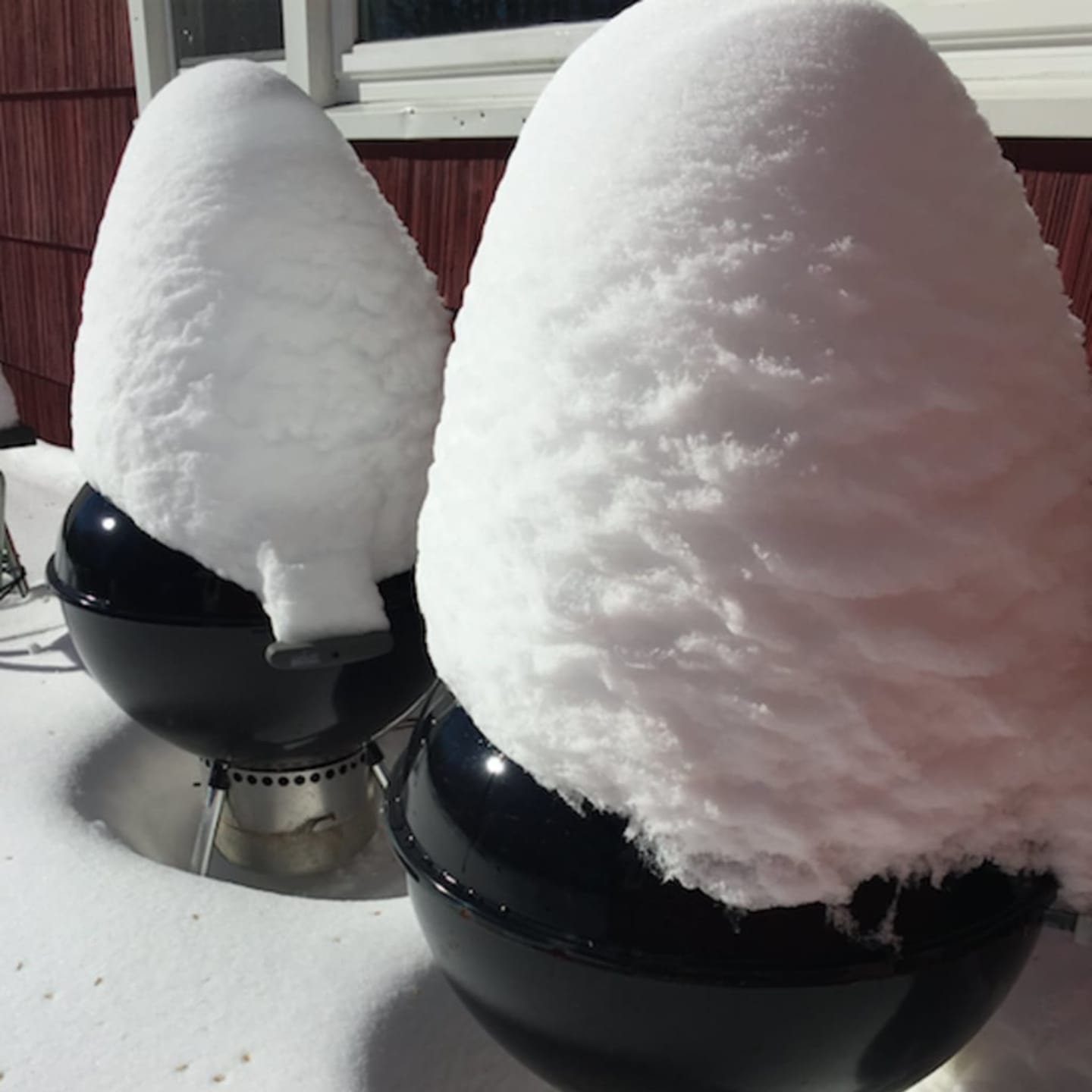
There is a 50 percent chance of snow through the afternoon under cloudy skies. But with temperatures rising into the upper 30s, some melting may begin to occur, the National Weather Service said.
A Coastal Flood Advisory remains in place from 11 a.m. to 3 p.m. Wednesday along Long Island Sound, with high tides of 1 to 1.5 feet above normal.
Low-lying shore roads and properties are at risk due to the height of the storm tide and splashover.
A chance of flurries continues into Wednesday evening and into Thursday, which will be mostly cloudy. The high will be in the mid-20s with wind chill values near 10 as winds gust as high as 28 mph.
The sun should be out again on Friday, but temperatures will drop into the 20s. Saturday is even colder, with daytime highs in the teens and overnight lows dropping to zero or below.
Click here to follow Daily Voice Danbury and receive free news updates.