
But even as the snow arrived, the National Weather Service again made adjustments to the forecast, weather warnings and snowfall totals for Fairfield County for the daylong storm.
A blizzard warning late Friday was pulled down, and the National Weather Service downgraded the warning to "just" a Winter Storm Warning, which will remain in effect until 7 a.m. Sunday.
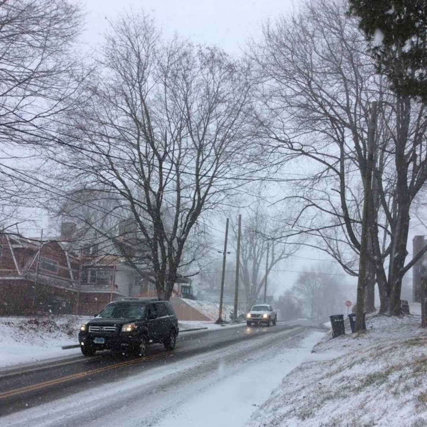
But the duration, strength and amount of snow is still daunting for Fairfield County, which is getting its first significant snowfall of this winter.
In a statement issued at 9:30 a.m. Saturday, the Weather Service warned of very heavy snow that will affect the southern half of Connecticut.
"An intense snow band continues to work north into the region through the mid to late morning, with snowfall rates of 1 to 3 inches per hour," the statement said.
Travel is not recommended due to whiteout conditions, especially closer to the coast.
Blowing and falling snow is blinding due to winds of 20 to 30 mph with gusts of up to 45 mph.
"A few roads may become impassable due to the rapidly accumulating and drifting snow," it said.
Scattered downed tree limbs and power lines could add travel hazards and cause power outages.
The forecast is calling for snow totals of 6 to 10 inches, and up to 12 to 18 in some areas. Heavy snow and blustery conditions will continue throughout the entire day.
Motorists are urged to stay off the I-95 corridor between New York and Washington, D.C., where blizzard warnings continue. Many flights have been canceled. Nearly all SAT tests scheduled throughout the area have been canceled with most rescheduled for Feb. 20.
Gusty winds are expected to continue through Sunday, which will be a mostly sunny day with highs in the mid 30s.
Flooding at high tide is expected along Long Island Sound. Coastal Flood Warnings are in place from 10 a.m. to 2 p.m. and 9 p.m. to 1 a.m.
Click here to follow Daily Voice Danbury and receive free news updates.